


Book Tickets Online
About
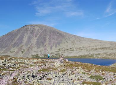
Sølen – Our Queen of the Mountains
1,755 metres above sea level. One of Rendalen’s most distinctive mountain landscapes – and a hike you will not soon forget.
Looking for a challenge – and a fantastic memory to take home? A hike where your heart starts pounding, your legs get tired, but your head and heart fill with good vibes?
Then come to Rendalen and climb Sølen – our Queen of the Mountains.
There are several routes to Sølen. This particular route starts in Grøndalen, with parking at Gravåsen. The GPX track for this route shows a loop of approximately 21.8 kilometres, starting at around 791 metres above sea level and reaching a recorded high point of approximately 1,752 metres.
This is a long and demanding mountain hike, best suited to hikers who are comfortable with longer days in the mountains. Allow plenty of time and be prepared for changing weather and challenging terrain.
5,359 km² of visible land
From Midtre Sølen, you can see more land area than from any other inland summit in Southern Norway.
TOPPS viewshed maps show a visible area of 5,359 km² from Midtre Sølen. TOPPS describes this as the largest viewshed they have found from an inland summit in Southern Norway. Rendalen Municipality states that Sølen has the largest visible land area of any mountain in Norway.
Detailed route description
Find a detailed route description, map and additional information about the hike on UT.no.
View the route on UT.no →Check the mountain weather
Mountain weather can change quickly. Check the latest forecast for Søre Sølen before setting out.
Check the weather forecast on Yr →Bring a tent
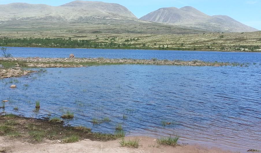
If the hike feels too long for a single day, bring a tent and spend the night by Skardtjønnet.
Sitting by your tent in the evening and looking up at the mountain waiting for you the next morning is part of the experience. Waking up inside your tent, feeling the sun warming the fabric, opening the zipper and seeing Sølen towering above you may become one of the highlights of the entire trip.
Sølen Landscape Protected Area
The Sølen Landscape Protected Area in Rendalen Østfjell was established in 2011 and covers approximately 456 km². The landscape is distinctive, with significant natural and recreational values, and is particularly characterised by the Sølen massif with its peaks, deep valleys and cirques.
The Mistra river system, the Sølen massif and the landscape surrounding Sølensjøen form the heart of the area and create one of the most distinctive mountain landscapes in Innlandet.
Before you go
A big hike. Big views. A big memory.
Sølen – Our Queen of the Mountains.